An early 1890s map showing the cemetery site which stretched from Adams Mill Road down to Rock Creek.
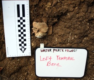
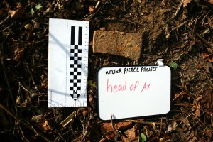
A central goal of the Walter Pierce Park Archaeology Project was to find out what, if anything, was left of the African American and Quaker cemeteries at the site. The archaeology team found ample evidence of the cemeteries’ 19th Century operation and 20th Century desecration. Through historical research, the team found at least 8,428 burials documented in city death records. Conversely, city disinterment records show that fewer than 300 graves were removed. Following the archaeological survey, an extensive geophysical survey found at least 35 intact graves in the park and the possibility that hundreds or thousands more remain at depths too great for detection.
QUICK CLICKS TO WALTER PIERCE PROJECT REPORTS:
-
FOR THE ARCHAEOLOGY AND HISTORY OF THE CEMETERIES, read our Report to the Public on the Archaeological Investigation of Walter C. Pierce Park and Vicinity 2005-2012 by Mark Mack and Mary Belcher.
-
FIND YOUR ANCESTORS AND OTHERS on our Walter Pierce Park Burials Database documenting the 8,428 people buried in the 19th Century cemeteries.
-
FOR COURAGEOUS ESCAPES FROM SLAVERY, read our nomination of Mt. Pleasant Plains Cemetery at Walter Pierce Park to the National Park Service’s National Underground Railroad Network to Freedom.
-
READ THE GROUND-PENETRATING RADAR AND GEOPHYSICAL REPORT on the park by Dr. Jarrod Burks of Ohio Valley Archaeology Inc.


